Craigieburn Forest Park Ridgeline

Hiking Friends
Amazing. We've been on 'that' serious hike again in the Craigieburn Forest Park - up to Camp Saddle, along a ridgeline for nearly two hours, and then down a scree slope which I call 'The Big Scree' (when I want to impress my low-horizon friends).
I've done this trip once before, with the Moosey family. But on that trip we had patchy visibility - clouds were draped comfortingly over the sides of the ridgeline.
This time the day was clear and still, and so the views were much, much bigger. And so we puffed our way through the bush up to Camp Saddle, and then turned up the ridge, stopping for lunch at the highest point - a no-name knob, 1550 meters high.
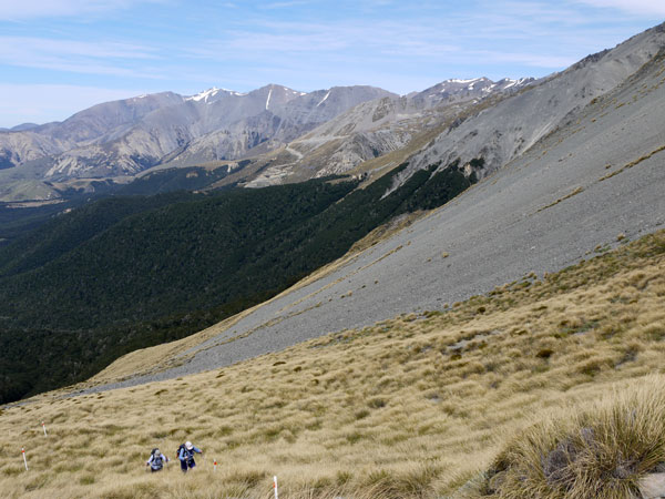
Hiking Up to Camp Saddle
I became quite ecstatic and verbal (spluttering in a rather non-eloquent way), as my focus shifted from my plodding feet to the distance and majesty of the mountain panorama. I conveniently forgot the annoying rocky razor-back which was to come, where going carefully backwards and not holding onto loose rocks would be required.
An Adventurous Hiker
I'm an adventurous hiker, not a mountain ascender, so high places with big views have a profound affect on me. Perched up there in so much air and space I think huge thoughts.
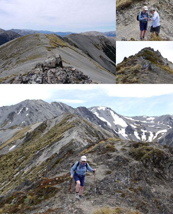
Craigieburn Ridgeline Photographs
Helicopter flights (whether real or on TV travel programmes) and peeping at Google Earth are no match for my actual body being connected to the ridge, my eyes tracing the route my own worthy legs have only just taken. Eek! That looks rather scary...
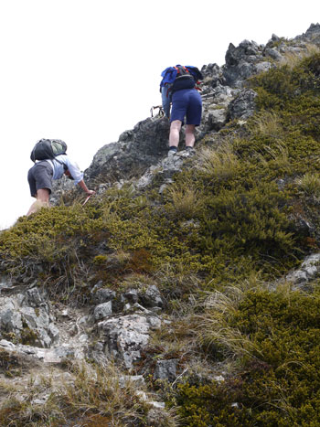
A Scrambling Blue Bottom
The Scrambling Blue Bottom...
Better to let the photographs do the talking, I guess. Non-Gardening Partner (our trip leader) took heaps of them. But not too many of my scrambling blue bottom, please!
Sometimes he seemed to race alarmingly ahead, but then I remembered why. He was in charge of the camera, and boy would he get told off if he didn't take enough! Non-Gardening Partner also took the GPS and has kindly printed out a map showing our route.
Congratulations...
And I really must congratulate my hiking friend, who made it along the ridge and down 'The Big Scree' with the minimum of fuss. She wasn't very talkative up there - funny that, but it was her first time.
She tenderly put plasters on my cut thumb (ouch - those exposed pieces of rock have sharp edges). She shared her oatcakes. And halfway down 'The Big Scree' she was smiling. Thanks, friend, and well done us!
What a day - a really, really amazing day. A challenging route, brilliant weather, a scree to run and jump down, great company, good food, New Zealand's wonderful mountains...
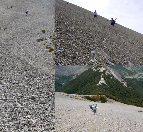
Down the Craigieburn Scree Slope
Then back down through the New Zealand bush safely to the car, and a scenic hour's drive home to my own piece of paradise - so small, woman-gardener-made, so different, yet close to the real thing. Twice blessed in one day...
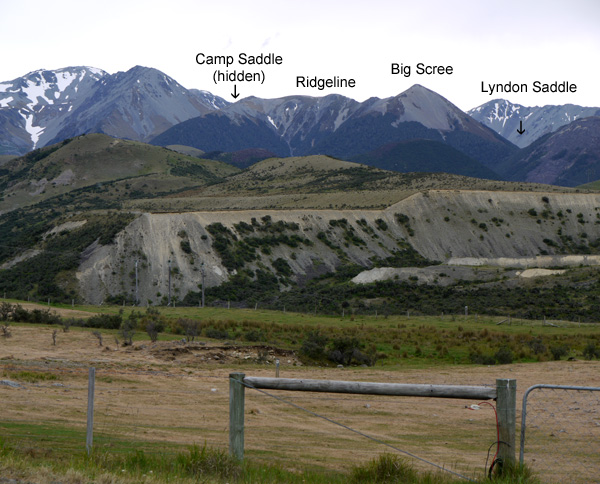
Cragieburn Ridgeline Trip
Free Download
 Craigieburn Map (PDF 6 MB)
We saved the route from the GPS and produced this topographical map. It's in a PDF form, and you're welcome to download it - as long as you promise to be very impressed!